Cheshire East's location in the UK
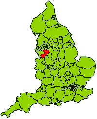
Cheshire East is located in the North West of England. The borough has good transport and communication links to large cities including Manchester, Liverpool and Birmingham.
Interactive map
Our interactive map of Cheshire East will show you the location of Cheshire East in the UK.
Cheshire East Council
Cheshire East Council has a number of offices and facilities around the area that it governs. The main headquarters are based at the following address:
Delamere House
Delamere Street
Crewe
Cheshire
CW1 2JZ
Tel: 0300 123 55 00
Rail links
The West Coast Mainline travels through the borough with a main station in Crewe. The line links Glasgow in the North (243 miles away) to London in the South (158 miles away) with other lines providing links to North Wales, Manchester, Derby and Shrewsbury.
Road links
Road links in the area are good. The M6, the longest in the UK, runs through the Borough providing a direct route from London to Glasgow.
International links
Crewe Station provides direct routes to regional transport connections such as Manchester Airport, Birmingham International Airport and Holyhead Ferry Port. Further international transport links accessible from the area include Liverpool John Lennon Airport and Blackpool Airport.
Page last reviewed: 16 July 2025
Thank you for your feedback.